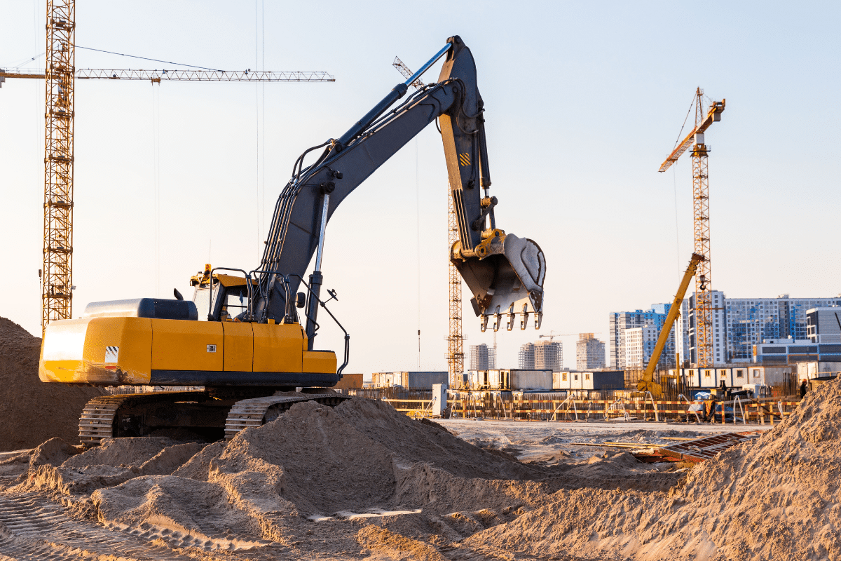
Outdated utility records put construction projects in Tampa at real risk. Ground-penetrating radar in Tampa, FL, gives contractors a view of what’s beneath the surface instead of guessing from old maps. With accurate data, crews can avoid strikes, reduce delays, and work confidently.
Excavation sites often hold more than what the records show. Lines may have been moved, abandoned pipes may still be in place, and soil conditions can shift utilities over time. Geotek Services provides scans that cut through the guesswork and give construction companies the clarity they need before digging.
Working off bad information is one of the fastest ways to stall a project and drive up costs. Relying on outdated records can lead to accidents, shutdowns, and expensive setbacks. Read on to learn the biggest risks of old utility records and how ground penetrating radar keeps your projects moving.
Key Takeaways
- Outdated utility records create hidden risks that can derail construction projects in Tampa.
- Ground penetrating radar in Tampa, FL, gives contractors real-time data that outdated maps can’t provide.
- Geotek Services delivers accurate scans that protect crews, budgets, and timelines before excavation begins.
Maps That Don’t Match The Ground
Old utility maps often tell a story that no longer matches what is in the soil. Pipes and lines can shift as new roads, buildings, and repairs change the layout over time. A crew relying only on records risks digging in the wrong place.
Ground penetrating radar gives you a view of the site instead of a guess from history. Scans reveal lines that were moved, replaced, or abandoned years ago. With accurate readings, you dig with less risk and more control.
Forgotten Repairs And Replacements
Decades of fixes can leave utility systems looking nothing like the files on record. Crews often uncover mismatched pipes or cables that were swapped out without notice. Every surprise in the ground adds cost and risk to the job.
A GPR scan uncovers the history that paperwork missed. The technology highlights rerouted lines and hidden pipes before any digging begins. With this knowledge, contractors avoid setbacks and keep projects moving forward.
Abandoned Utilities That Still Cause Trouble
Underground networks hold more than the active lines shown on utility maps. Old pipelines, cables, and wires may no longer serve a purpose, but they still sit in the soil and create obstacles.
Hidden Costs In Project Planning
Inactive utilities can change the way a project is designed. Engineers may need to adjust trench routes or foundation plans to work around these leftovers. Every redesign means extra time, new permits, and higher expenses that cut into your budget.
Safety Risks You Don’t Expect
An abandoned line might still carry traces of hazardous material. Corroded pipes can leak chemicals into the soil or groundwater long after they were taken out of service. Crews who hit these lines without warning face both health dangers and regulatory problems.
How Scans Protect Your Team
Ground-penetrating radar in Tampa, FL, gives contractors a look at abandoned utilities before digging starts. Geotek Services provides scans that helplocate ghost lines so you can confidently remove them or plan around them. This step protects crews, prevents redesigns, and keeps work on schedule.
Utilities Shifted By Soil And Time
Shifting ground changes more than the surface you see. Erosion, sinkholes, and natural settling can move pipes and cables from their original location. A utility that once sat deep below may now sit closer to the surface than expected.
An updated scan reveals where those utilities ended up over time. The data guides safe digging paths and helps prevent dangerous strikes. Accurate scans mean fewer surprises and smoother excavation.
Delays From Discovering Utilities Too Late
Hitting an unknown line can stop excavation in an instant. One delay pushes back the entire schedule and forces other crews to wait. Every unexpected problem underground drives up costs and puts deadlines at risk.
Ground penetrating radar helps contractors stay ahead of these issues. Scans reveal hidden utilities before digging begins, so there are no mid-project surprises. Accurate information keeps the work moving and protects the bottom line.
Liability That Falls On The Contractor
One strike underground can trigger a chain of problems that extend far beyond the site. Utility owners may demand payment for damages, and clients often seek compensation for costly delays. Financial exposure grows quickly when legal action or regulatory fines are added to the mix.
Using ground penetrating radar reduces that risk while creating a record for responsible planning. The scans prove the contractor took steps to identify buried lines before work began. This effort builds trust, limits disputes, and shields the project from unnecessary liability.
Build Smarter And Safer With Ground Penetrating Radar In Tampa, FL
Outdated records shouldn’t decide the fate of your project when better tools are available. Geotek Services gives contractors the underground data they need to avoid surprises and keep crews safe. Smarter planning starts with knowing what’s below the surface before the first bucket hits the ground.
Frequently Asked Questions
What happens if construction crews rely on outdated utility records?
Old records often leave out repairs, replacements, or abandoned lines, which can cause costly hits during excavation. Ground penetrating radar gives contractors updated information to dig safely and avoid delays.
Why is ground penetrating radar more reliable than utility maps?
Paper records show where utilities were supposed to be, but soil shifts, upgrades, and missing updates make them inaccurate. Ground penetrating radar shows the real-time location of utilities on site.
Can ground penetrating radar detect non-metallic utilities?
Yes, ground penetrating radar can detect materials like plastic, concrete, and other non-metallic pipes that maps often miss. This allows crews to plan around all utilities, not just the ones made of metal.
How does ground penetrating radar improve safety on job sites?
Accurate scans reduce the risk of striking live lines that can injure workers or stop a project cold. With updated underground data, crews know where it’s safe to dig.
What are the biggest risks of relying only on utility records for excavation?
When records don’t match what’s underground, contractors face strikes, project delays, safety hazards, and even legal liability. Ground-penetrating radar reduces these risks by giving a picture of current site conditions.