

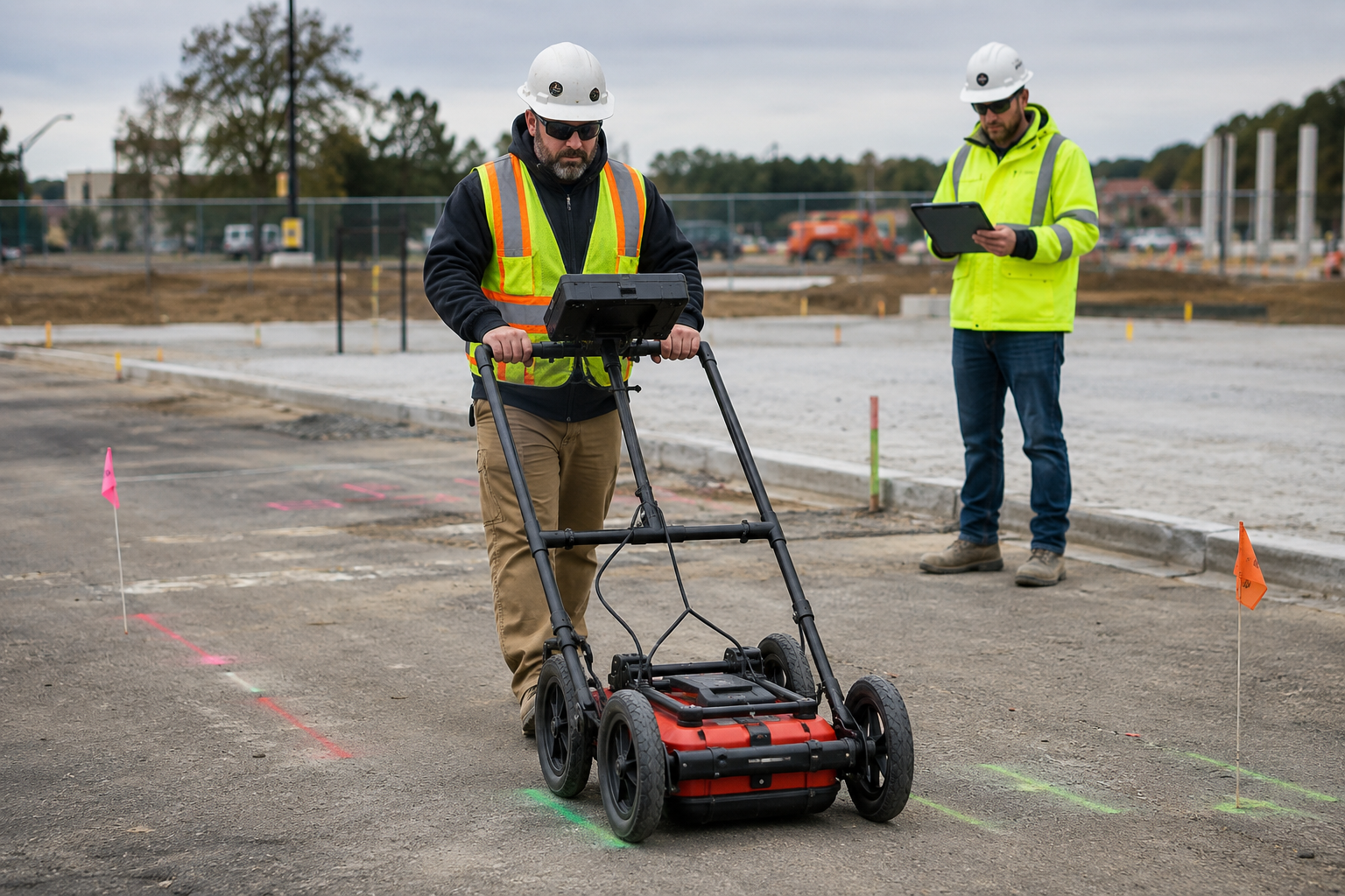
Old as-built drawings can leave civil design teams working with only part of the story. An experienced underground utility locator in Sarasota, FL, helps turn those missing details into real field information before plans move too far. Geotek Services gives engineers, owners, and project teams a clearer view of what may be hiding underground.
Buried utilities can change the path of a project fast. A missed line, tank, conduit, or obstruction can slow decisions and push costs into places no one planned for. Better locating early in the design process helps teams move with more confidence and fewer last-minute surprises.
Learn more about how we keep civil design projects moving when as-built drawings are incomplete.
Key Takeaways
- Incomplete as-built drawings can hide problems until the project is already under pressure.
- Private utility locating helps turn old records into clearer field data.
- Buried lines, tanks, and obstructions are easier to handle when found early.
Start With the Drawing Gap
Old drawings can look clean and still leave the team guessing. A line may have moved years ago, a private utility may be missing, or an old obstruction may never show up on the plan. Geotek Services helps civil teams turn weak records into real field information before design choices get locked in.
A drawing gap is not a small detail when crews later meet it in the ground. One missed utility can force plan changes, slow approvals, and push costs into places no one planned for. Early underground utility locating gives engineers a clearer starting point before the project gets harder to adjust.
Smart design begins with checking what the paper cannot prove. Geotek Services helps teams find the buried details that old as-builts leave out. Better information early helps the whole project move with fewer surprises and stronger decisions.
Separate Public Lines From Private Lines
Paint on the ground can make a site feel safer than it really is. Public marks usually cover utility-owned lines, but civil design work often needs more than that. Private lines for power, water, storm, sewer, irrigation, lighting, and communications can still shape the whole plan.
Geotek Services helps teams look beyond the basic public markout to identify the systems tied to the actual site. Those hidden lines can affect grading, drainage, building layout, and where crews can dig without trouble. Clearer utility information helps engineers design around real field conditions rather than hope the missing pieces do not matter.
Verify the Site Before Layout Decisions
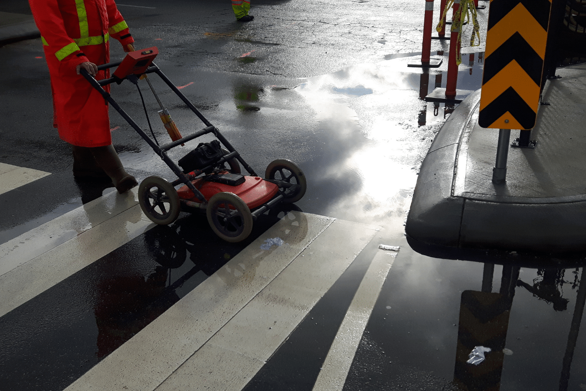
A site plan can look ready before the ground proves it wrong. Buried utilities can cross a road path, squeeze a drainage run, or sit where a building pad is planned. Early locating helps engineers compare the layout with real field conditions while changes are still easier to make.
Hidden conflicts get harder to fix once permits, bids, and schedules add pressure. A missed line can force plan changes, move structures, or shift excavation areas. Better utility data gives the design team a stronger path forward before buried problems start driving the project.
Find Utility Conflicts While They Are Still Cheap
A buried conflict found during design gives the civil team time to make a smart call. The same conflict found during excavation can stop crews, raise safety concerns, and turn a small issue into a costly change order.
Catch The Conflict Before Crews Are Waiting
Civil design teams have more control when utility issues arise before equipment reaches the site. Crews cost money when they stand around waiting for answers, and those delays can spread across the schedule fast. Early locating helps the team solve the issue before labor, machines, and materials are tied to one path.
Keep Design Revisions Smaller
Utility conflicts do not always require a major redesign when found early. Engineers can shift a structure, adjust a crossing, or reroute a short section before the plan set gets harder to change. That early move can protect the schedule before a field surprise forces a rushed fix.
Protect The Design Before Construction Pressure Hits
Civil plans get harder to change once bids, crews, and timelines are already in motion. A missed line can lead to added drawings, extra coordination, and fast decisions made under pressure. Geotek Services helps bring those risks forward sooner so design teams can solve problems before the field controls the next move.
What Should Civil Engineers Do When As-Built Drawings Are Incomplete?
Civil engineers should treat weak drawings like a field risk, not a file problem. Old records can miss utility moves, abandoned lines, private conduits, tanks, and buried objects that still affect the design. Geotek Services helps turn those unknowns into real field data before major plan choices get harder to change.
GPR and EMI give design teams a better way to check what the drawings leave out. Those findings can shape grading, drainage, tie-ins, road paths, and excavation planning before pressure builds. Stronger field information helps civil engineers move the design forward with fewer guesses and fewer late changes.
Use GPR For What Drawings Cannot Explain
Old site records often go quiet right where civil engineers need better answers. Ground-Penetrating Radar helps detect buried items that paper plans may never mention. Plastic pipes, tanks, vaults, conduits, tunnels, voids, and abandoned utilities can all shape what the design team does next.
GPR adds another layer of field insight when drawings leave too many blanks. A buried object under a future structure, road, or drainage area can change the safest and smartest path forward. Finding those concerns during design gives the team more time to adjust without rushing under construction pressure.
Good civil design depends on knowing what the site is hiding. Geotek Services uses GPR to help teams compare old records with real field conditions before major choices become harder to change. Better information early helps engineers protect the plan before unknowns turn into delays.

Use EMI To Trace Conductive Utilities
Some lines leave a signal trail underground. Electromagnetic Induction helps trace electric, telecom, metal pipe, tracer wire, and certain conduit paths when old records do not provide enough detail. Civil engineers can use that field data to spot route conflicts before the layout gets pulled in the wrong direction.
GPR is strong for scanning buried objects, while EMI is built for following conductive paths. Using both methods gives the design team a broader view of what lies beneath the work area. That bigger view helps reduce guesswork before grading, drainage, tie-ins, and excavation plans move too far forward.
Check For Abandoned Utilities
Old utility lines do not become harmless just because no one uses them anymore. A capped pipe, buried vault, or forgotten conduit can still sit in the path of excavation, grading, or new utility work. Finding these problems during design gives civil teams time to choose a better plan before crews are forced to react in the field.
Here are the abandoned utility issues that can create real design pressure:
- Old Pipes In The Work Zone: Dead pipes can still block trench routes, drainage work, or new service paths. Civil teams need to know where those lines sit before the plan depends on space that is already taken.
- Capped Conduits Near New Runs: A capped conduit can appear like a minor field issue until it blocks a new route. Early locating helps engineers decide whether the line should be avoided, removed, or reviewed further.
- Buried Vaults Under Future Work: An old vault can create a serious conflict below pavement, pads, or drainage areas. Finding it during design helps the team plan around the obstruction instead of stopping work later.
- Forgotten Service Lines: Old service lines can confuse crews when they appear during excavation. Early field information helps reduce guesswork before the project reaches the point where every delay costs more.
Abandoned utilities are easier to manage when they show up on the design side of the project instead of during active field work.
Hire Our Experienced Underground Utility Locators in Sarasota, FL
Incomplete as-built drawings leave too much room for costly surprises. Geotek Services helps civil engineers find buried lines, tanks, conduits, and obstructions before those issues slow the job. Better field data gives the project a clearer path before construction pressure builds.
Frequently Asked Questions
How can incomplete as-built drawings delay a civil design project?
Incomplete as-built drawings can leave out old lines, private utilities, tanks, or buried obstructions. Those missing details can slow design work once the team realizes the site does not match the plans.
Why should underground utilities be located before civil design is finished?
Underground utilities should be located early because design choices get harder to change later. Finding buried conflicts before the plans are locked helps reduce rushed changes, delays, and extra costs.
What kinds of buried utilities can affect a civil site plan?
Water lines, sewer lines, gas lines, electric lines, telecom cables, fiber, sprinkler mains, and conduits can all affect a site plan. Buried tanks, vaults, abandoned utilities, tunnels, and voids can also create problems if they are found too late.
Can private utility locating help when 811 does not cover the full site?
Private utility locating can help find site-owned lines and other buried utilities that 811 may not mark for design work. This gives engineers a better view of hidden risks before construction starts.
Why does field data matter when old site records are unclear?
Field data matters because old records may not show repairs, reroutes, abandoned lines, or private utility changes. A fresh utility locate gives the project team clearer information before they make major design decisions.