

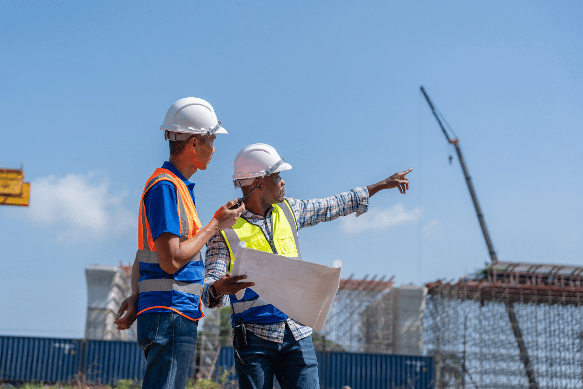
Construction projects in Miami move quickly, but the ground beneath them often holds more questions than answers. Hidden utilities, soil shifts, and forgotten structures can disrupt even the best plans. GPR in Miami helps construction companies avoid those setbacks by giving them clear data before work begins, and Geotek Services makes that process simple.
Accurate subsurface information changes how a project comes together from the start. It allows planners to design with confidence, forecast materials correctly, and reduce conflicts between trades. With ground penetrating radar services from Geotek Services, construction companies gain the insight needed to keep schedules and budgets on track.
Read on to see why accurate subsurface data is one of the most valuable tools in project planning today.
Key Takeaways
- Accurate subsurface data allows construction teams to plan projects without costly surprises.
- Reliable underground mapping keeps work on schedule and reduces unexpected budget changes.
- Clear data improves safety, coordination, and decision-making before the first dig begins.
Place Foundations With Confidence
A foundation is only as strong as the ground it rests on. Ground penetrating radar (GPR) helps reveal soil changes, buried structures, or hidden voids that can affect stability. By knowing what lies beneath, planners reduce risk before construction begins.
Identifying Groundwater Impact
Moisture levels below the surface can shift soil strength over time. GPR pinpoints areas where groundwater may be present, helping engineers plan for proper drainage or reinforcement. This prevents uneven settling that could lead to cracks or long-term structural stress.
Mapping Historical Layers
Old utility lines, forgotten building footings, or filled trenches often remain hidden underground. GPR creates a map of these past layers so they don’t interfere with new foundation work. Understanding these layers also helps prevent costly surprises and delays once excavation starts.
Prevent Utility Relocations Later
Unexpected utility lines can stop a project in its tracks. Ground-penetrating radar shows what lies beneath before any digging begins. Crews can then plan safely and keep work moving without delays.
Relocating utilities in the middle of construction drains budgets and stretches timelines. Early scans let engineers design around pipes, wires, and conduits that would otherwise cause trouble. Projects stay on schedule, and crews avoid dangerous surprises underground.
Move Faster Through Permits
City agencies often ask for proof that underground conditions have been reviewed. GPR in Miami produces records of soil shifts, hidden voids, and buried lines that help meet these standards. This information reduces uncertainty and clears a path for faster approvals.
Underground data give inspectors confidence that a project has been properly evaluated. Geotek Services delivers the data needed to show compliance and ease concerns. With strong evidence in place, construction teams avoid long waits and keep work on track.
Forecast Materials More Accurately
Every project depends on accurate planning for steel, concrete, and piping. GPR results uncover the areas that may require stronger support or extra materials before crews break ground. This insight creates a solid plan that limits surprises once work begins.
Budgets stretch further when orders match the true needs of the site. Instead of scrambling for extra supplies later, teams bring the right resources from the start. Careful forecasting keeps material use efficient and construction moving without costly pauses.
Support Smarter Land Use
Redevelopment sites can hide unexpected barriers that delay work. Buried pipes, rubble, or filled trenches often remain long after their original use is forgotten. Ground penetrating radar exposes these conditions so planners can move forward with confidence.
The following ways show how this approach strengthens land use:
- Reducing Unnecessary Excavation – Locating abandoned utilities or footings before digging prevents guesswork in the field. This reduces soil disturbance and creates safer conditions for workers and nearby areas.
- Designing With Precision – Maps of underground features let engineers adjust layouts without wasted effort. Smarter designs make better use of the property and avoid costly redesigns.
- Improving Environmental Outcomes – Early detection of hidden voids or waste lowers the risk of contamination and erosion. Careful planning helps preserve the site and supports sustainable development.
Comprehensive scanning leads to safer projects, lower risks, and stronger use of available land.
Deliver Long-Term Value To Owners
Planning should extend beyond the day construction wraps up. Ground penetrating radar produces results of underground features that remain useful for years. Owners can rely on these maps when planning upgrades, expansions, or repairs.
These records reduce the risk of damaging existing utilities during future work. Easy access to accurate information saves money and limits delays when projects return to the site. Owners gain a resource that supports safer decisions and adds lasting value to their property.
It’s Time to Invest in GPR in Miami
Every successful project starts with reliable information about what lies underground. Accurate subsurface data keeps work safe, budgets steady, and schedules intact. Geotek Services provides the ground-penetrating radar support that helps construction companies plan smarter from day one.
Frequently Asked Questions
Why is accurate subsurface data important for project planning?
Accurate subsurface data reveals hidden utilities and structures that can disrupt a project. With this knowledge, planners can design smarter and avoid delays or costly changes.
How does ground penetrating radar improve safety on construction sites?
GPR identifies underground hazards before crews break ground. This reduces the risk of accidents, equipment damage, and dangerous utility strikes.
What project delays can ground penetrating radar help prevent?
Unexpected finds underground often force redesigns and stall progress. GPR provides data upfront so schedules stay on track and budgets stay steady.
Can ground penetrating radar detect more than just metal?
Yes, GPR maps both metallic and non-metallic features, including plastic pipes, concrete, and storage tanks. This gives construction teams a broad view of what lies below.
Why should contractors in Miami use GPR for their projects?
Miami job sites often include dense utility networks and changing soil conditions. GPR helps contractors plan around these challenges with confidence and accuracy.